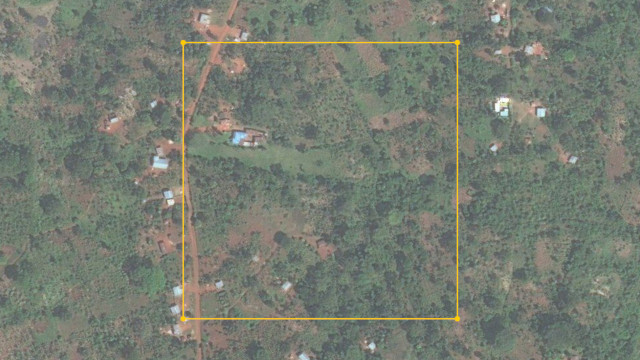
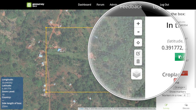
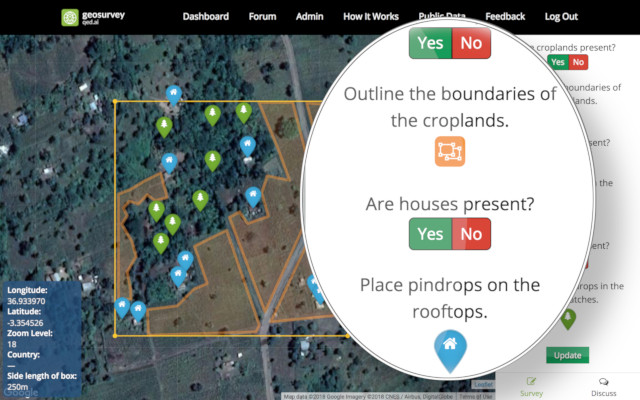
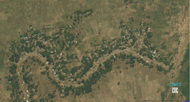
How It Works

A Picture

Geosurvey crowdsources the collection of scientific data about our planet. It presents you with images taken from satellites, drones, and mobile phones. Your task is to answer questions about that image, such as cultivation level, housing and cropland boundaries, woody coverage, and appearance of plant disease (from mobile photos).

Pan Controls, Zooming, and Layers

To get a better view of the area displayed, you can use the pan and zoom controls. You can also change the base layer to fetch imagery from different satellites, thereby looking at the region through a variety of lenses. If you ever lose track of the square, you can click on the targeting reticle icon to reorient the camera to its original position.

Your Move

On the right hand side of the screen, you can choose to answer questions about the region inside the square, or skip this and be presented with a brand new square.

Answering Questions

The survey questions vary in complexity, but usually involve multiple choice questions, possibly with conditional logic, and some drawing tasks in the browser. Select choices to best describe what you see strictly inside the highlighted box, and then click "Submit." Below is a short video showing an example of the markup process for a more complex survey. Use the "Discuss" feature in the lower-right corner to ask others for advice.

Submit and Climb the Leaderboard

Your submissions are tracked and credited toward your score. The more questions you answer, the higher you will climb in the leaderboard!

Influence the World

Your answers will assist scientists, agricultural agencies, and governments with producing maps of land usage and plant disease prevalence.

Instruction Manual

A detailed instruction manual can be found here: geosurvey-manual.qed.ai.